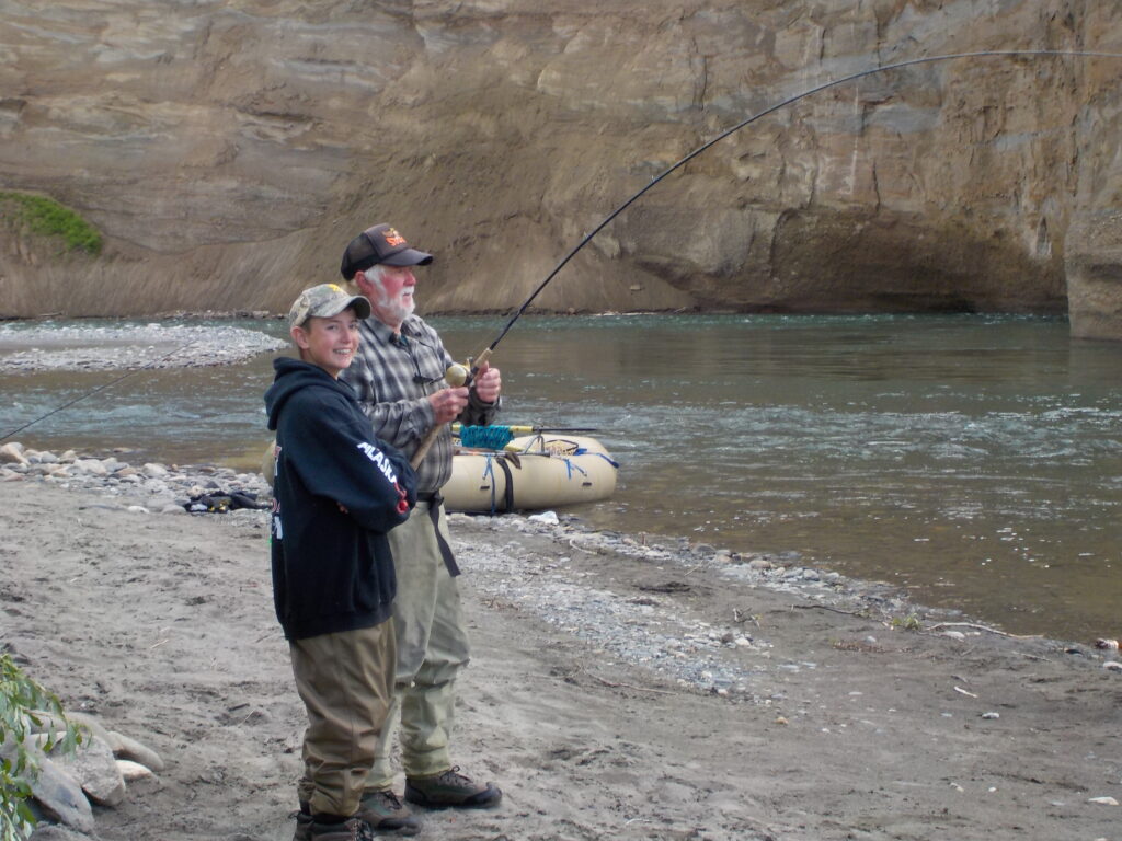
Having been asked before (and challenged on it) I have confirmed with the DNR that the beach is in fact private property.
https://codes.findlaw.com/ak/title-41-public-resources/ak-st-sect-41-17-950
Section 14: “ordinary high water mark” means the mark along the bank or shore up to which the presence and action of the tidal or nontidal water are so common and usual, and so long continued in all ordinary years, as to leave a natural line impressed on the bank or shore and indicated by erosion, shelving, changes in soil characteristics, destruction of terrestrial vegetation, or other distinctive physical characteristics;
The change from gravel to sand coming out of the water denotes the property line and the sand is in fact private. Up river, the change from gravel to vegetative soil and erosion on the bank, also designates high watermark and thus the property line. You can see the gravel to sand line watermark designation line in front of the feet of these two fishermen.

And here you can see a photo detailing the high water mark as defined by the change in gravel structure and vegetation:
